

Stand Network
General Stand Map
Explore mapped points by route, species, and associated technical documentation.
Routes and stands
in an interactive view
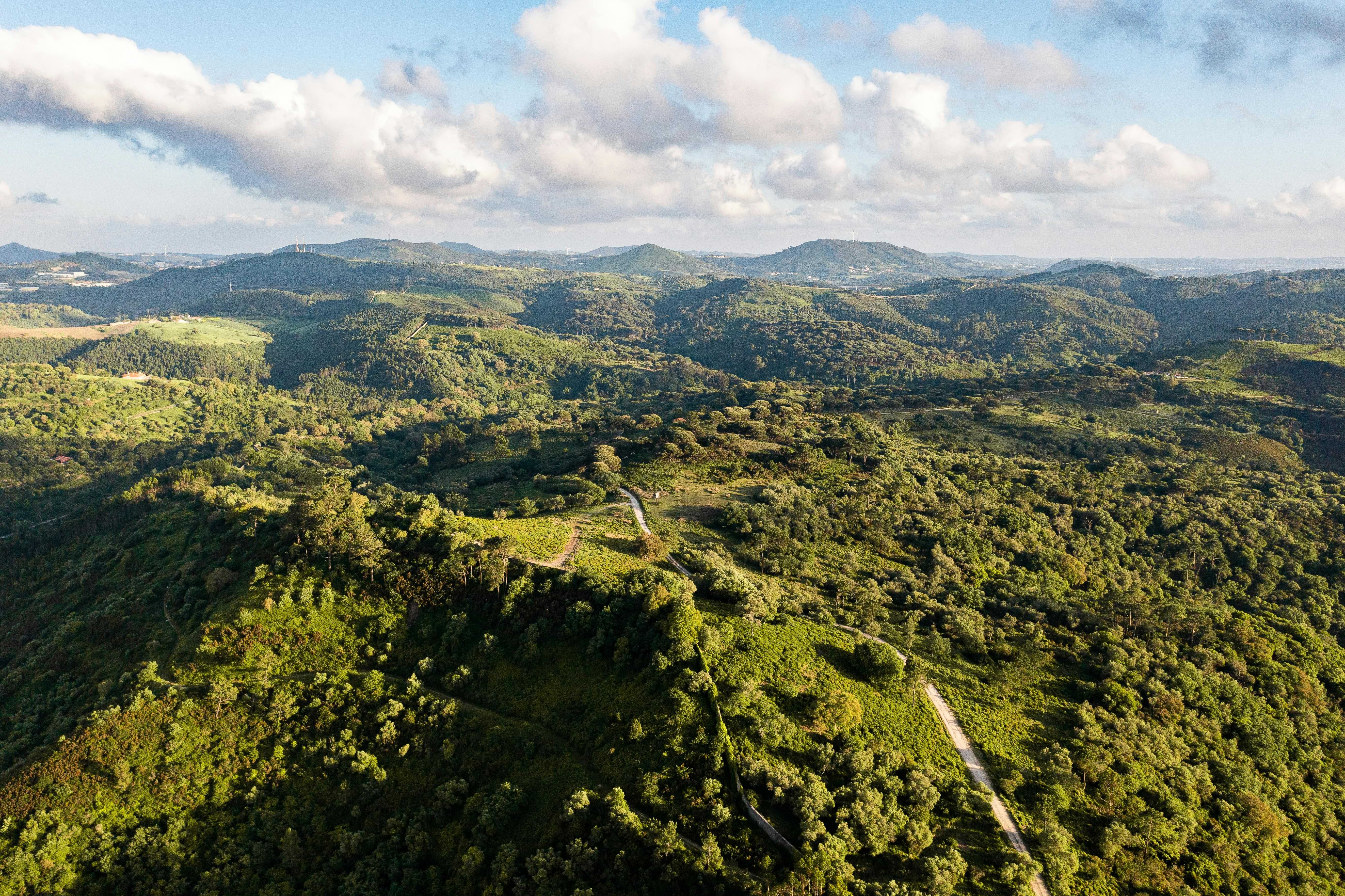
This map presents the stands of the demonstration routes. Each marked point lets you view the stand name, route, species, and associated documents.
Use the filters to isolate routes or species and download the technical sheets at the end of the page.
General map
Georeferenced points in the territory
10
Mapped points
3
Routes
10
Species
Explore 10 mapped points
Select filters and click the markers to open the available sheets.
Sheets for mapped points
View or download the available documentation for each stand.